Showing posts with label hiking. Show all posts

Monday, December 29, 2014

Winter Solstice

Happy Winter Solstice!
Without much snow in the mountains for snowboarding, we headed southwest towards the desert for some late season hiking.

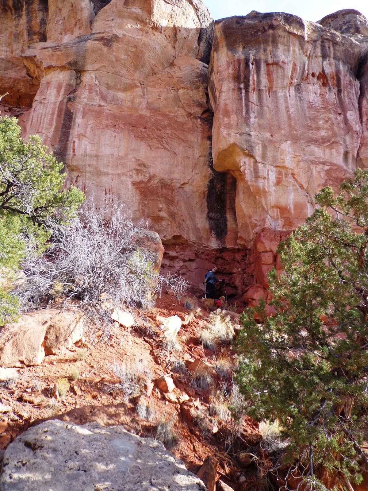
Together, on this the shortest day of the year, we hiked as a family amongst the ancient cliff dwellings and pondered how important this day must have been to the long gone inhabitants.
 
We took time out of the preciously short lit day to rebuild a cairn.
 
Jim and Stown overlook a deep box canyon, wondering how much has changed since the last civilization decided to take up residence here.
 
 We found mountain lion tracks.
 
We found rodent tracks.
 
 Doug and Aspen compared their feet to the footprint of a mountain lion.
Sizable difference, they concluded.
 
Stown explored the nooks and crannies of the canyon walls.
 
We stopped for a late lunch, perched up in the pockets of a cliff.
 
Shortly after lunch, the weather started to change.  A wind picked up and cloud cover masked the sky.  We picked up our pace heading back towards the car.  We got to the car and drove home, arriving just before dark and the first signs of snow.  To conclude the day, we indulged in big plates of roast and roots that had been simmering in the crock pot all day.  We exchanged gifts and called it an early night.  Stown headed home and Jim and I headed to bed.  Slumber comes early on these long cold winter nights, perhaps because we are so rushed to make the most of the short days.  Maybe because we burn so much more energy while working outside to stay warm in the cold.  Either way, I am cherishing this time of year to recharge my physical batteries.
 
Now, the days are getting longer - if only by a minute or two.  Soon it will be spring, then summer, then... well you know how fast the seasons and the years pass.  So, I hope you take the time needed to recharge and have the energy needed to live in love, peace and understanding. 
 
LOVE TO ALL!


Saturday, September 20, 2014

Grand Canyon - Plateau Point & Bright Angel

After leaving the Tonto Trail we stopped to enjoy lunch at Indian Garden along the Bright Angel Trail.  We  were sitting on a bench minding our own business, when suddenly the people behind us started yelling "Squirrel!  Squirrel!".  Well, we caught this fat little ball of fur trying to make off with our bag of dried fruit!  So brazen they are and used to being fed by people, it came right up behind our bench, reached up and grabbed the bag out of the pile of assorted lunch snacks we had set out.  After filling our bellies and our water bottles (the corridor trails offer potable water spigots & bathrooms along the way), we headed out another trail way had never had time to explore, Plateau Point.  This trail is an out and back (3 miles round trip) from Bright Angel to a look out over the river.  Well worth the hike!

` remember - click to enlarge pics! `
 
A panoramic to the West
 
To the East
The river is running muddy due to the recent rains
 

Looking back South to the wall that awaits our ascent out of the canyon.

 Back on Bright Angel for the long (4.9 miles +3060 ft elevation) climb out, it didn't take long for Jim to find some love and encouragement.
 
Later in the afternoon, we switch backed our way up and in and out of shade along the contours of the canyon wall.
 

The switch backing trail is so steep that you can spit down on the trail you just walked on.  Although, I don't recommend it.  However, playing shadow puppets is acceptable.
 

Jim points out a knob jutting out over the abyss, near the 3 mile water stop, where 7 years ago during our honeymoon descent we stopped for a little scenic lovin'.
It's all fun and games, unless you're afraid of heights.
 

Closer to the top, I glance back for a parting view.  As the lighting changes along with the passing clouds, the views are always different.
 

 Bright Angel Trail head
 
This is not a day hike for those not in shape.  (And no, round is not a shape!)  The elevation change is significant, like a reverse mountain climb.  Only the climb is at the end and you don't have the downhill gravitational pull to help you like on a regular up and down climb.  Consider the South Rim is at an average of 7,000 ft in elevation, that's already much higher than where most people live (what's the elevation at your house?) kind of like you're starting at the top of the mountain.  People who are fit at sea level are not necessarily fit at elevation and may experience altitude issues.  Luckily, Jim and I reside higher than this and thus experience a boost in oxygen at lower elevations.  There are signs everywhere warning people not to go down to the river and back in one day.  Jim and I stopped at the Back country Office the day before to purchase a new map and were given a wonderful sticker.  "Down is Optional - Up is Mandatory"  It is put out by the search and rescue.  People seem to think that there is some magical fairy that just plucks you out of the canyon and carries you to the top if you get tired.  Ummm... NO!  After speaking with a ranger on Bright Angel, he explained how they do get people out.  First the tired hiker gets to stay the night in the canyon, not in a cabin or tent, just where ever they happen to be when they decide they have to stop for the night.  Then they get to try again, the next day.  If they insist on being "rescued", fine, the park service will send a mule down to carry them to the top - to the tune of a $300 bill!!  Mule rides aren't free, even for those who need to be "rescued".  Note I say "rescued", because if there was actual medical emergency (life threatening) they would helicopter you out - Who knows how much that bill would be!  So again, I stress this hike is not for the out of shape.
 
When we started the morning, I overheard an experienced hiker tell a first timer, "On the way out, you know you're getting close to the top when you start seeing fat people and children."  True that!  I noticed what I like to call the "Fashion Strata".  It's similar to the geological strata layers of rock you see along the canyon walls, changing with elevation.  It seems to start at about the 1.5 mile water stop, people in khakis, polo shirts and spiffy new white tennis shoes.  As you climb up (closer to the trail head), you might see teenagers in Chuck Taylor's with no socks (UGH!  Imagine the dust rubbed blisters?!) or perhaps a well dressed man in Penny Loafers.  Even closer yet, you are guaranteed to see ladies in dresses, glittery sandals (sometimes even heels!), fancy handbags and name brand labels on nearly everything.  See, as you reaching for the top and your legs are wobbly and your spirit is diminishing, the entertainment factor starts to climb, lifting your inner laughter and drowning out the aches and pains that may be ailing you.
 
But hey, at least even these people are making an effort to something wonderful and majestic instead of sitting in front of the television. (Don't get me wrong, there was plenty of texting, selfies and other annoying techno crap to be seen.)  As for us, we shut down the technology for the day, tuned out and dropped in - the canyon that is! 
 
Hope you have an opportunity to escape soon,
even if it's just for the afternoon!


Friday, September 19, 2014

Grand Canyon - Tonto Trail

After 4.3 miles of leap frogging other hikers, we reached The Tipoff and turned West.  Leaving the freeway known as South Kiabab, we embarked onto a single track trail that would traverse the south wall of the canyon along a plateau averaging 3,800ft in elevation.  We would follow this trail to the next freeway, Bright Angel, 4.5 miles away.
 
*Click on photos to enlarge*

 Looking West - Can you find the trail?
 
A whole new environment. 
Hotter and more arid, trees were few and far between the scrubby little shrubs.
 

Off in the distance we spied a huge cottonwood tree.  Knowing they symbolize water in the desert, we were excited.
 
Burro Spring
But we never expected this!  Holy Oasis!
Gingerly, Jim steps from rock to rock to avoid soaking his shoes in the boggy mess below.
 

Damsel Fly
What a delight of color and diversity to find in the depths of the canyon.

Pipe Spring
A bit further down the trail we came across another spring.  This one had a wider bed and was actually running.  There were more trees and large rocks offering us a comfortable place to rest and eat.
 

The trail follows the contour of the south wall, going in and out of box canyons.  A new perspective of the South Rim's Yavapai Point.

One of the original telephone line poles installed across the canyon a 100 years ago.  Comprised of galvanized pipe and glass insulators, they are still standing and have the wires strung between them.
 

Jim saying good bye to the trail...
and the peace and quiet.
 
While we were enjoying the Tonto trail, never saw another hiker.  We picked up a few bits of trash but never encountered another person (or mule).  It was a beautiful experience in Desert Solitaire.
 
But wait there's more!
We still have to climb OUT of here!
Check back for the final ascent...

Thursday, September 18, 2014

Grand Canyon - South Kiabab Trail

Jim and I are coming up on our 7th anniversary.  When we got married we honeymooned at the bottom of the Grand Canyon.  Since then we have gone back to celebrate our anniversary somewhere in the park.  This year I got a three day weekend (albeit a few weeks before than our anniversary), so we decided to celebrate early.  I scored a cancellation hotel room for Saturday night and we camped out under the stars Friday night.  On Saturday we did a 17 mile hike down into the canyon, staying along the south wall, and explored some trails we had seen signs for but never had the time to hike.  Follow us along the trail for some amazing views...
 
~ Click to enlarge photos - way worth it! ~
 
Saturday Morning Sunrise
(taken from a moving truck window)
 
South Kiabab Trail Head (parking area)
 
South Kiabab Trail Head (actual)
When asking strangers to take a picture, we tend to take a couple, who knows which ones will or  will not turn out.
 
The far off North Rim from the top of the trail.
 
 Descending...
 
 Did we mention it was crowded?
O'Neill Butte on the right.
 
At Skeleton Point we came across an artist, Joshua Been.
As it turns out we were at the park during the 6th Annual Grand Canyon Celebration of Art.  It's a week long event featuring many artists painting "En plein air", a French expression that means "in the open air".  They were scattered across the rim and a few in the canyon, providing onlookers with a peek of creation in motion.  There were demonstrations scheduled, exhibits and of course items for sale.  After a few words with Joshua, we discovered he is a neighbor of sorts.  He hails from Salida Colorado, funny what a small world it is.

A view down and across the south wall at the trail we will be traversing on soon.
 
The steep and exposed switchbacks are constructed so beautifully.  I can't imagine being a part of the trail crew that built these trails about 100 years ago with such basic tools and crappy footwear.  I love my feet and we invest in excellent shoes for adventures such as these.  When I look at the black and white archival photos of the history of the canyon, my toes and heels cringe at the broken down old boots that adorn their feet.  Imagine the bleeding blisters!
 
South Kiabab is considered one of three corridor trails leading in/out of the bottom of the canyon.  It's well maintained and heavily travelled.  It is the shortest and steepest of the three.  Starting at 7,260 feet in elevation then dropping down to 2,480ft at the bridge that crosses the river, that's -4,780ft over a quick 7 miles.  It's like descending flights of stairs in some sections.  It is located East of the Main Village area and one must take a shuttle to get there, due to it's "out of the way" location it's less crowded (only slightly) than the other South rim trail, Bright Angel. 
 
Check back for more miles and views to come your way soon, as we start our traverse across the south wall.

Wednesday, July 30, 2014

Our Grindstone Escape

 Grindstone...
Doesn't that sound relaxing to you?

Ok, maybe not at first but after the last couple months filled with road trips, a wedding, a graduation, family visits and work crammed in between Grindstone was just what Jim and I needed to reconnect.  The idea came about on our trek into the high country to cool off last month.  Often times as we hike we see trail signs and intersections with names that look familiar but we have never had the time to explore.  Such was the case when we stopped for our lunch on the aforementioned outing.  When we arrived home that day I poured over maps and books.  I came up with a loop and an alternative route for bad weather.  I planned out an approximate camping area just over half way. We set it in our minds that the next time I scored two days in a row off we were hitting the trail.  Well, low and behold, the schedule came out on a Wednesday and I had Saturday and Sunday off.  Short notice, but we 're good like that!  Beef in the dehydrator for jerky, bake some quick savory cheddar/pecan energy cookies, mix up breakfast makin's and we were on our way out of civilization bright and early Saturday morning.
 
 ~needless to say but I will anyway... click to enlarge photos~
 
 Driving up to the trail head, the flowers pay their respects the the rising sun.
 
 Columbine - our State flower
 
 Jim with our new found friend from New Jersey and his dog.
On our way up the canyon, we came across him and offered him a ride to the top.  He had driven as far as he could in his car and gladly hopped in the back of our truck for the rest of the trip to the trailhead.
 
 Entire Loop - 17 miles
Well, add in the distance from the trail head to this sign, then the fact that there was a tree downed across the road so we had to hike to the trail head and our "Entire Loop" ended up becoming over 21 miles!
 
 Look at the variety of wild flowers at almost 12,000 ft!!
 
Where's the safety railing?!
I'm calling OSHA.
 
 It's an eerie feeling while hiking a ridge line the way the clouds catch and hover right over you, not to the left or the right but dead center down the ridge line.
 
 Jim disappearing into the sky.
 
 Descending?
Don't be fooled, only a short down then another up - you can see the trail winding up the next climb across the saddle.  Averaging above 12,000 ft for most of the ridge line, we wouldn't dip down and out of the clouds until lunch.
 
 Another stunning Columbine
 
This is where we stopped for lunch, about 6.5 miles into our first day.  The storm clouds along the ridge stayed at bay until we were down.  Stopping for lunch amongst the trees we listened as the thunder rolled around us.  Ahh... the sound of nature letting us know whos' really in charge.  This is also where we saw the last person we would encounter for the next 27 hours.  From here on it was the Jim & Seana Show, no other hiker, biker, hunter, etc.

Let the Real Escape Begin!
 
Check back for the rest of our weekend adventure,
too many pictures for one post.
To Be Continued...
 

Tuesday, July 29, 2014

Visitors a.k.a. The In-Laws


Sometimes people come to visit, too.
 
It's funny that we live in such an amazing place and get so few visitors.  Earlier this month Jim's parents came to visit.  This is the first summer visit we have had from them since we've been married.  Unfortunately, I was unable to get more than a day off of work.  Jim was able to spend the days mountain biking and traveling with them but apparently he didn't take any photos.  So, here's a peek at our one day together...
 
 Rock Solid after all those years together!
 
 A tired Stown on a stone.
 
 Trail side Skeletal Art...
 
Even better Trail side Art!
 
We went on a hike together and enjoyed a few dinners after work.  Maybe next time I can actually get some time off to go and play for more than just a day.
 
Thanks for visiting M&P!

Friday, July 11, 2014

Getting High...

Yep, That's what we do in Colorado when the temperatures start rising. 
We get high in the mountains to cool off.
(what were you thinking?)
 
A couple weeks ago, Jim, the dogs and I went for a 9+ mile trek through the high country (topped a saddle at 11,949 ft. elevation, averaged 11,500).  We explored a trail we hadn't been on before.  The wild flowers were poppin' and the water falls were flowin'!  It was gorgeous!
 
Enjoy some of the pictures as we tried to capture the experience.
(but really, you just have to go for yourself)
 
~click to enlarge photos~

Adhering to the warning sign,  Aspen inspects the unstable rocks.
 
 Jim leading the way up to the saddle.
 
 Amongst the "unstable rocks", I spy the tiniest bunch of wild flowers I have ever seen!!
 
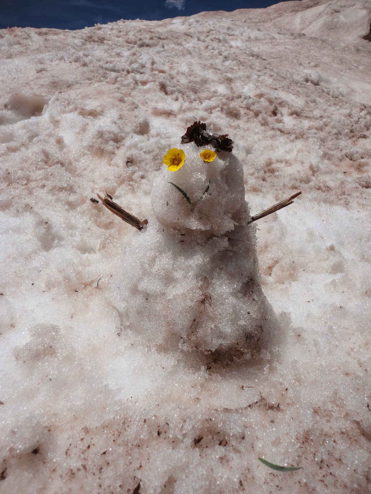
Who could resist playing in the snow at almost 12,000 ft in June?
 
Crazy trail work!
Look closely and notice that the trail is outlined with rocks!
Who does this?  Aliens?
 
Celebration Mountain
Looking across Bear Creek Valley
 

 One of many waterfalls
 
 Jim kisses a Grandfather tree.
So big and so old, bearing an ancient trail blaze, we just had to pause in awe of this natural wonder.
 
A glance back to the saddle we crossed through.
(located in the deep V right where the top of the tree is touching the sky)
 
 A picnic at the Bear Creek Trail connection.
 
 Exhausted Pups
 
 As we hiked, we gathered bits and pieces of trash.
At the connection, I used a recovered piece of cord to rehang a fallen sign.
 
We also did some trail maintenance along the way back,
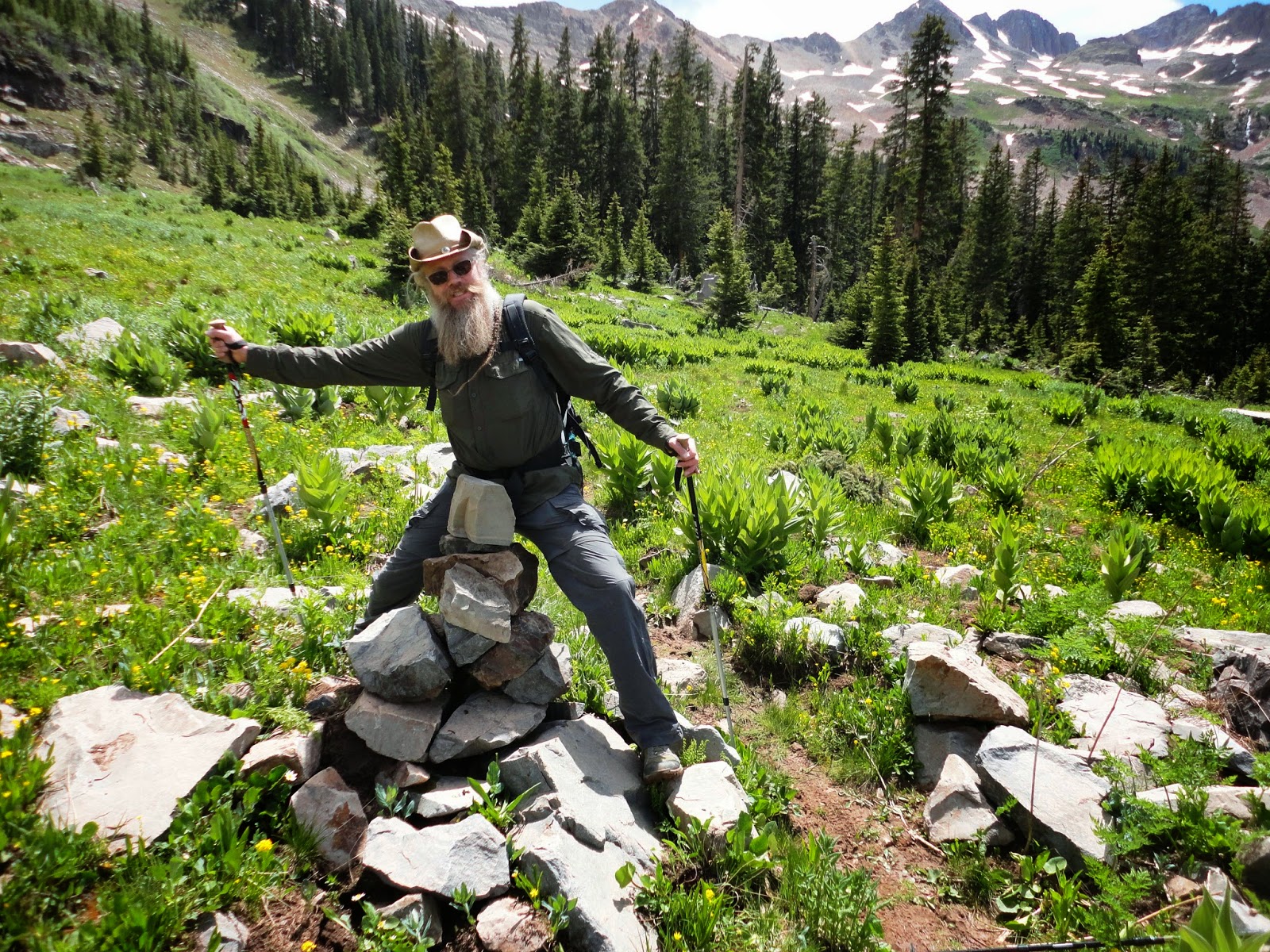
rebuilding trail cairns...
 
and righting fallen log markers.
 
 Is that a baby dragon?!
(perhaps too much time in the sun at high elevations were getting to me)
 
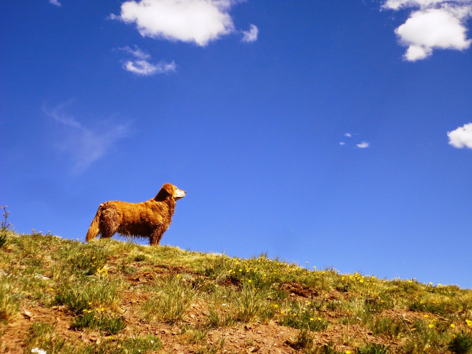
 Aspen looking regal.
 
A family of Marmots that taunted us with their whistles as we passed along the trail.
The dogs were so tired, they didn't even give these critters a second look.
(look close, it's like a "where's waldo" search - there are 4)
 
Thanks for joining us.
Hope you enjoyed the high!